
The shared map behind your artwork
The streets and river bends in a Cartivale map are more than decorative lines. They come from geographic data. Cartivale gives that geography an artistic treatment; the people who contributed the underlying map still deserve their credit.
Geography from OpenStreetMap contributors
Cartivale uses OpenStreetMap-derived data. OpenStreetMap is a geographic database built and maintained by contributors, with roads, waterways, buildings and other mapped features. Cartivale does not claim ownership of that underlying database.
OpenStreetMap data is available under the Open Database License, or ODbL. That is separate from the license for using your Cartivale artwork. For the source’s own explanation of credit and data rights, use OpenStreetMap’s copyright and license page.
Ocean and sea areas use water polygons derived from OpenStreetMap coastlines and prepared by OSMData. They complement inland water such as rivers and lakes. This source uses the same ODbL and OpenStreetMap credit; it does not give Cartivale ownership of the geography. Ocean / Sea and inland Water have separate controls in the editor. Availability and detail depend on the geographic data loaded for the area.
A theme changes the expression of the map
A theme decides how geography appears: which lines are prominent, how regions are coloured and whether the surface suggests ink, paper or another material. Styling can simplify or omit detail. A dark area in an artistic map is not a measurement, and a glowing road is not evidence of real illumination.
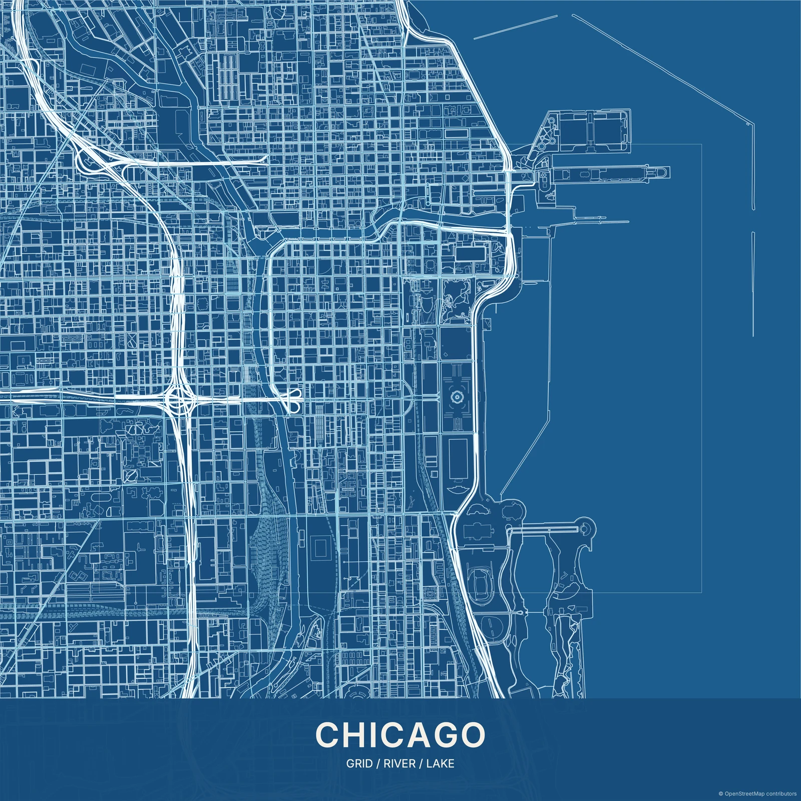
© OpenStreetMap contributors
Data can be incomplete or out of date, and artistic rendering is selective. Do not rely on the artwork for navigation, safety decisions, property boundaries or precise measurements. Check the preview for the details that matter to your composition.
For a missing or incorrect real-world feature, you can leave a note for OpenStreetMap contributors. Source corrections do not immediately appear in Cartivale: the data must first be updated here. Contact Cartivale support for a display or export problem.
Two different credits, two different purposes
| Package | Cartivale credit |
|---|---|
| Free | Visible Cartivale credit |
| Print Ready | No Cartivale credit |
| Designer | No Cartivale credit |
| Commercial | No Cartivale credit |
| Creator / Resale | No Cartivale credit |
OpenStreetMap attribution remains on every package, including paid downloads.
Free includes Cartivale promotion as well as OpenStreetMap attribution. Paid packages remove the Cartivale branding; they do not remove the required OpenStreetMap credit. Keep that credit readable when printing, publishing or editing the artwork elsewhere.
Do not hide the credit behind a frame, crop it off an image or remove it from an SVG. If a new layout needs a different attribution treatment, consult the source guidelines and the applicable license rather than assuming payment has removed the obligation.
Available data and available service are different
Explore places across Europe, Africa, the Americas, Asia, Oceania and Antarctica through the editor. Geographic detail varies by location; inspect your chosen view before purchasing. The Gallery is a selection of artwork, not a catalogue of every searchable place.