Skip to content
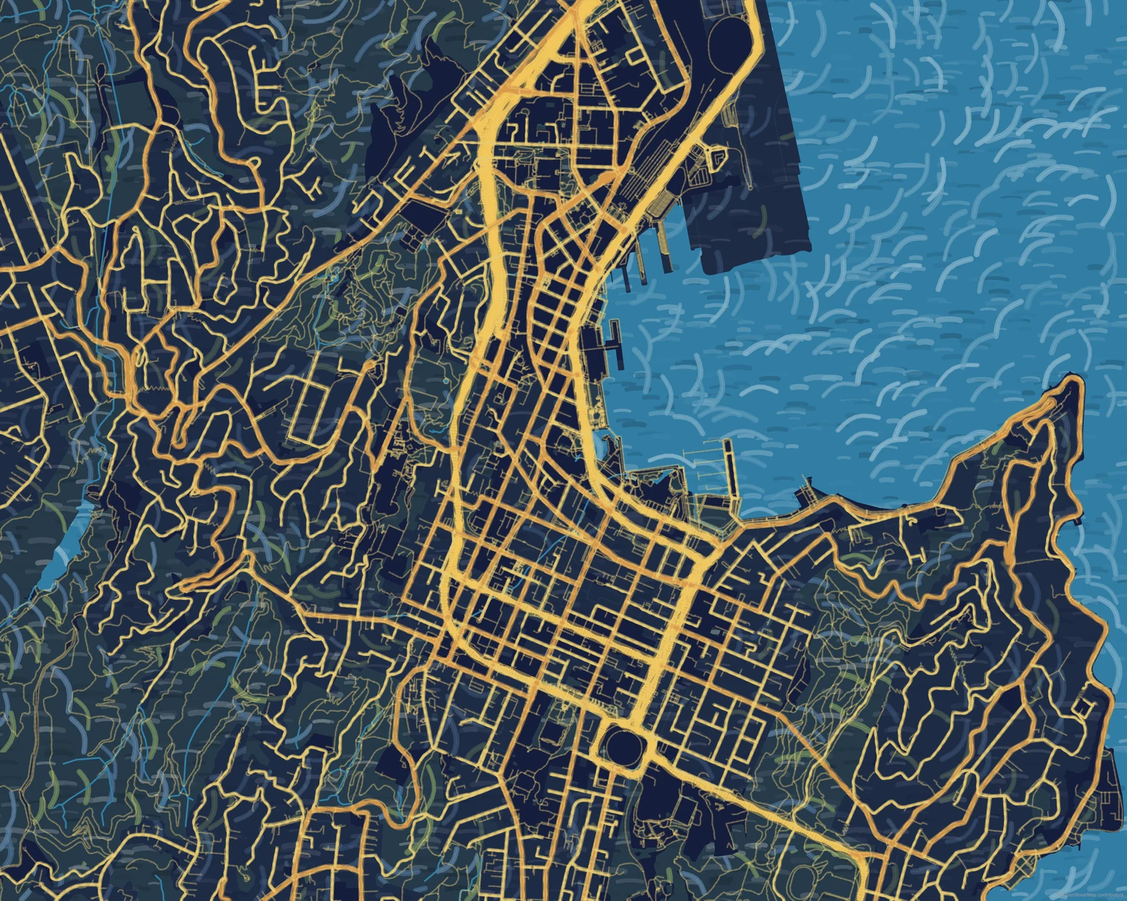
Abstract map of Wellington in the Starry Streets style. Warm directional road strokes meet the dark harbour edge in an unlettered landscape composition.
Abstract / Starry Streets
Wellington · New Zealand

Maps of Wellington

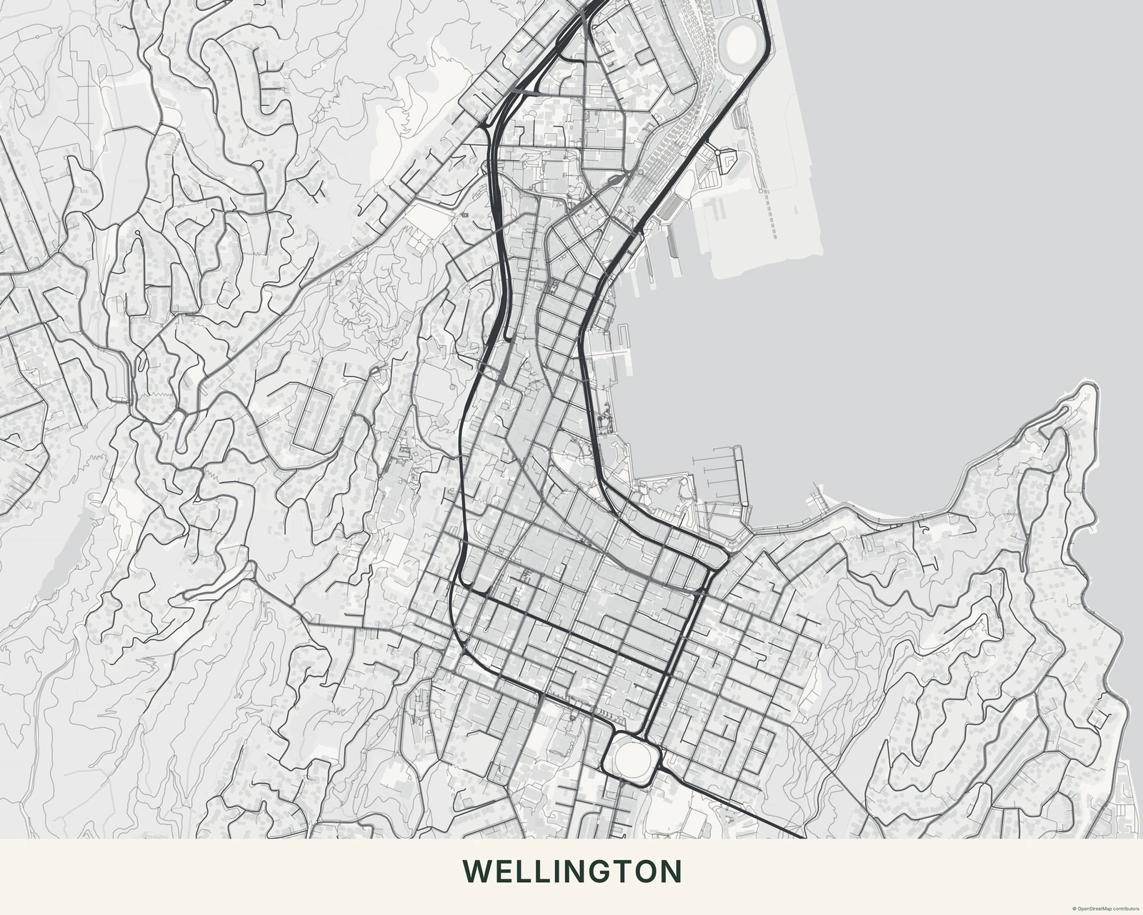
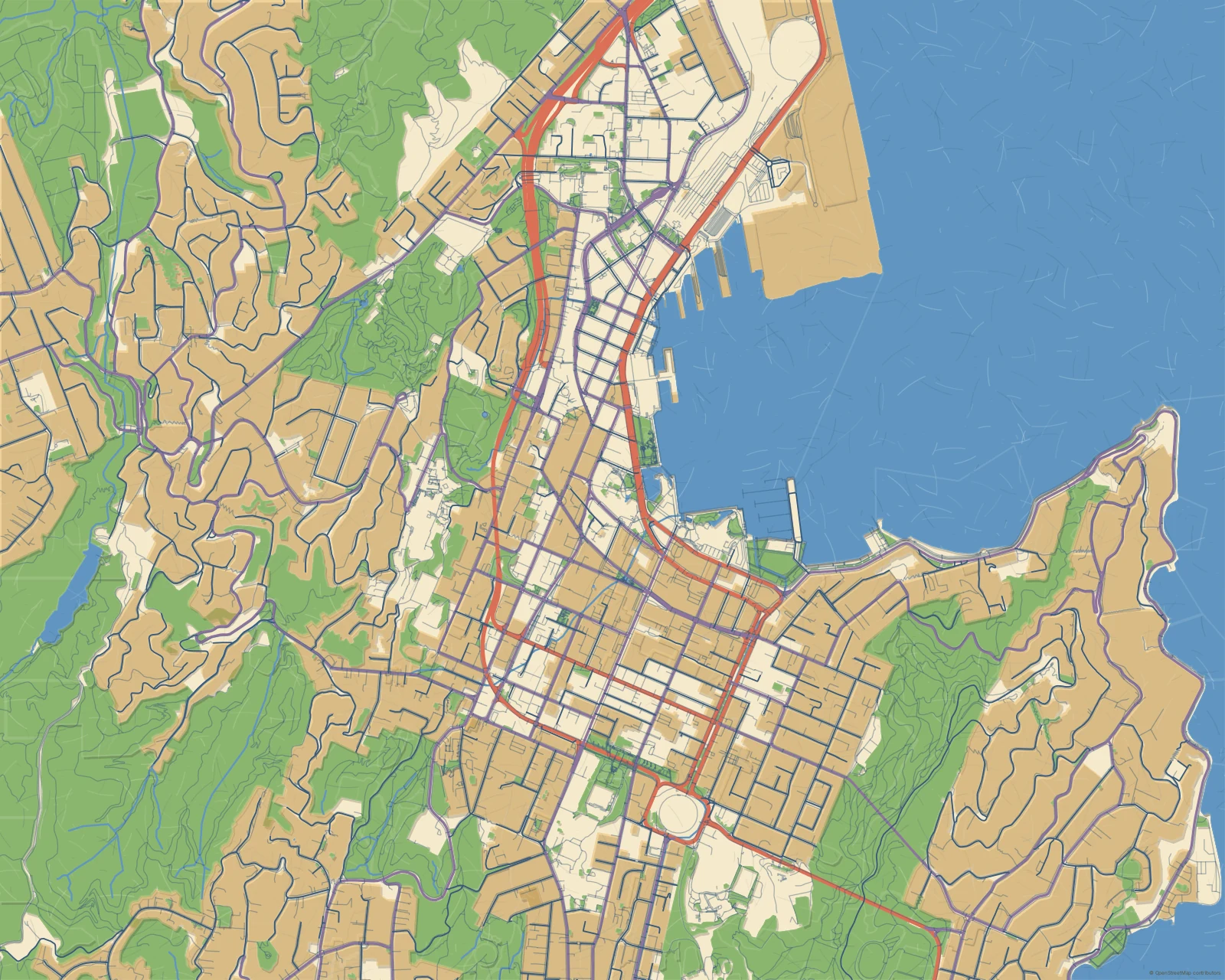
Central Wellington wraps around a curved harbour edge. Open water gives the denser street network room to stand out.

Create your Wellington map

Start from this area and choose a theme in the editor.

The look of this map

Starry Streets, from the Abstract collection. Warm directional road strokes meet the dark harbour edge in an unlettered landscape composition.

Geography becomes a graphic or painted composition, from bold fields to expressive marks. Explore Abstract →

A few ways to see Wellington

Similar cities

  • Sydney

    Streets around a harbour

  • Havana

    Streets around a harbour

← Back to the gallery

Each map uses the geographic data available for its area. Explore your chosen view in the editor to see its detail.

Privacy preferences

We use necessary storage and limited first-party usage measurement. Optional analytics adds repeat-visit measurement and Google Analytics. You can continue without it and change your choice later.

Necessary — always on
Language, your privacy choice and checkout recovery keep the site working. Limited usage measurement uses a short-lived browser-tab session, without a persistent visitor identity.
Optional analytics
Allow a random first-party visitor identifier and Google Analytics to measure repeat visits and how visits lead to purchases, refunds and downloads. Withdrawing consent stops future optional measurement and removes its browser identifiers.